Early History
Brindley Pool was mentioned in historic publications as far back as 1708, however by the 1834 edition of the Ordnance Survey Map, Brindley Heath was clearly identified as a distinct area of Cannock Chase.
All civil parish councils were formed in England under the Local Government Act 1894. The Urban District Council of Rugeley was formed at this time, when Brereton, including Hazel Slade, Slitting Mill and Etching Hill, was made into a separate civil parish within the Lichfield Rural District.
Under the Staffordshire Review Order of 1934 parts of Brereton, including Slitting Mill and Etching Hill, Brindley Heath, and parts of Armitage with Handsacre and Longdon were also added to the Lichfield Urban District.
Things changed in April 1972 with the Local Government Act 1972. This wide ranging legislation made sweeping changes to Local Government across England and Wales. Due to these changes Brindley Heath moved from the Lichfield Unban District, and together with the Cannock and Rugeley Urban Districts, formed the newly created Cannock Chase District.
For much of the early 20th century most of Cannock Chase, including Brindley Heath was a coal mining area, but the open spaces and relatively poor heath land has been well used by the military.
The War Years
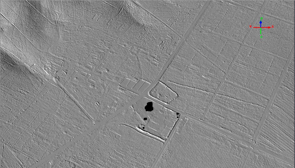
The area has been used for many things including an RAF training camp which was set up in 1938 as home to the 6th Technical Training School. In 1957 the camp was used to house around 900 Hungarian refugees. The camp was then demolished in 1960. The area was also used as a tank training ground, leading to much soil disturbance.
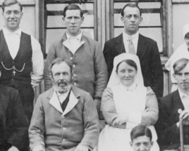
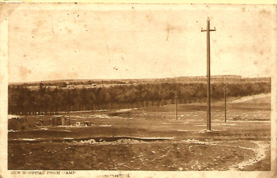
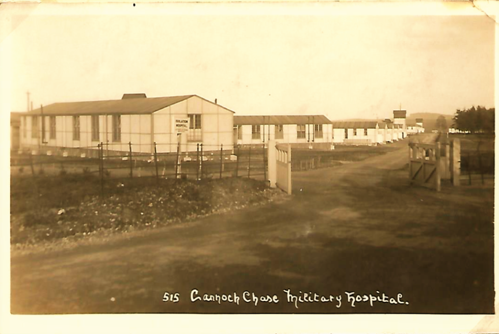
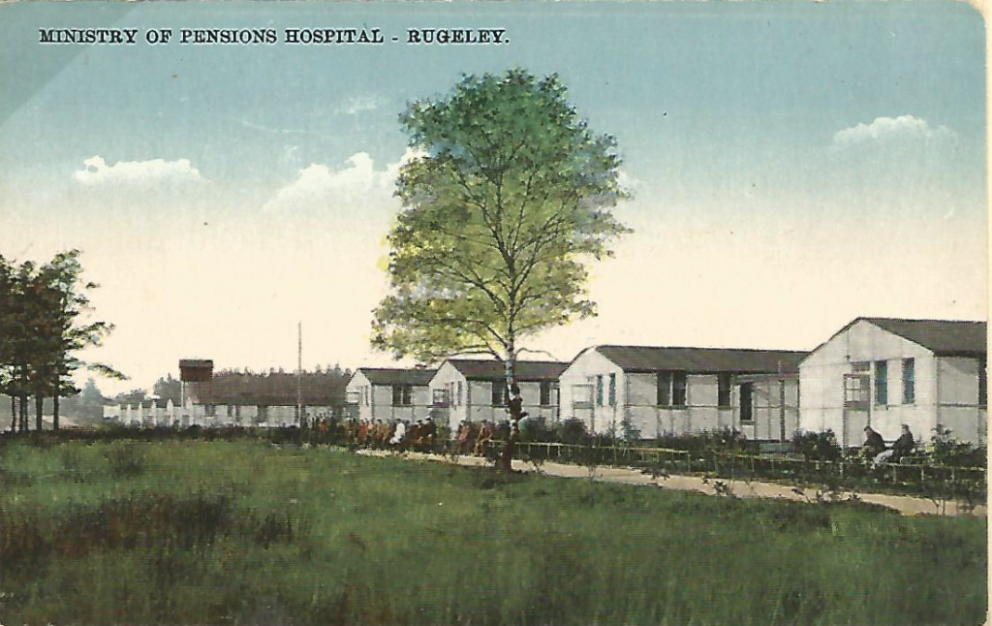
A military hospital was built on the heath during World War I. After the hospital was closed in the 1920s, local miners moved onto the site and dubbed it Brindley Village. It was finally demolished around 1951, and the occupants moved to Hednesford. The parish electoral ward for the southern part of Brindley Heath parish is also named Brindley Village.
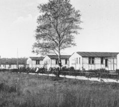
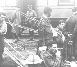
There was also a POW camp at Flaxley Green near Rugeley where the foundations can still be seen to this day.

The following images have been very kindly supplied by Trevor Warburton, Secretary to Friends of Cannock Chase. They show a selection of aspects of Rugeley Camp and Military Hospital, and are from the estate of Mr Arthur R. Lloyd who was a local postcard & postage stamp enthusiast.
If after viewing the photographs you have any comments or would like to know more about the Camps or locations, please do email the Parish Council as Trevor will be very pleased to provide additional information where he can.
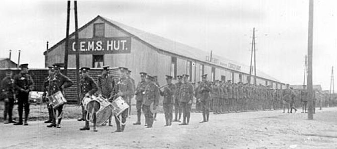
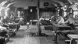
World War 1 soldiers in a hut at Brindley camp
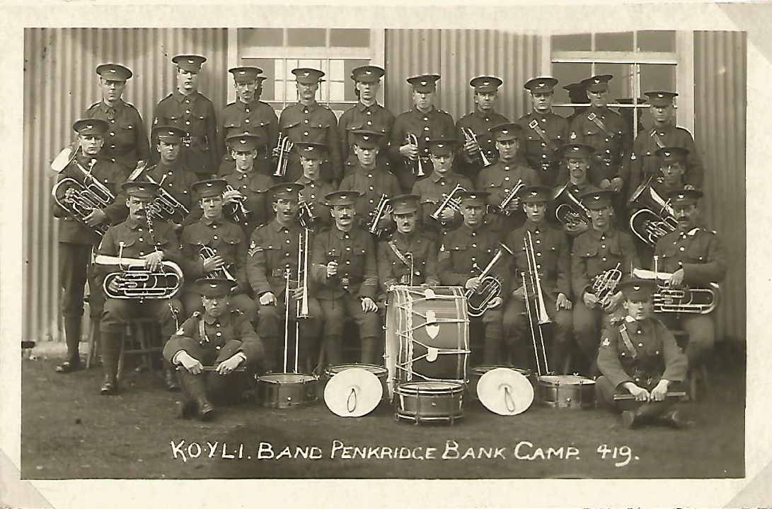
Kings Own Yorkshire Light Infantry
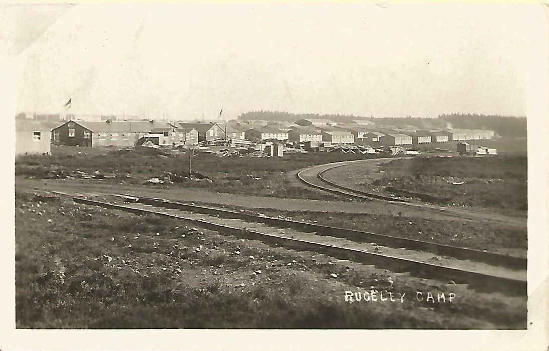
Rugeley Camp and Tackeroo
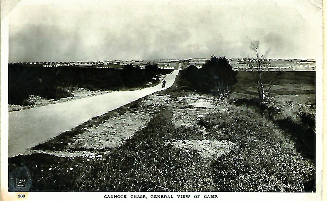
Rugeley Camp
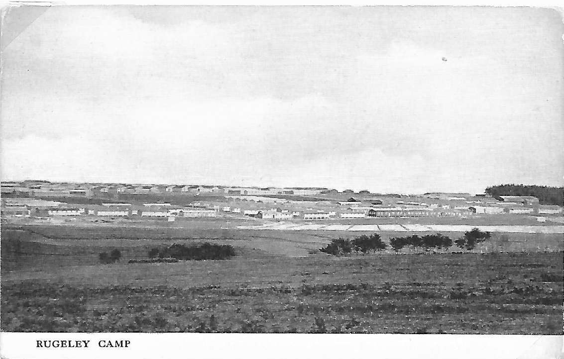
Rugeley Camp from the Distance
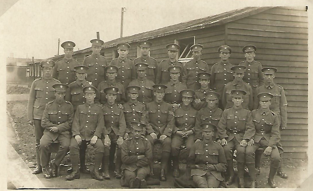
Rugeley Camp Group Photo
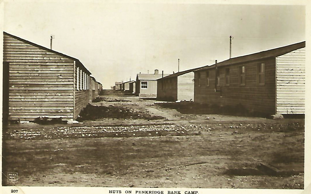
Rugeley Camp Hut Scene
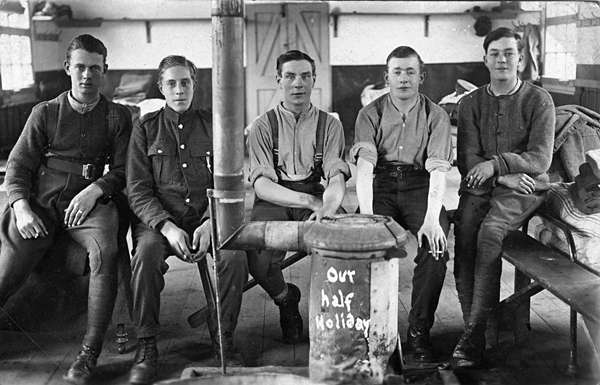
Troops Hut Inside
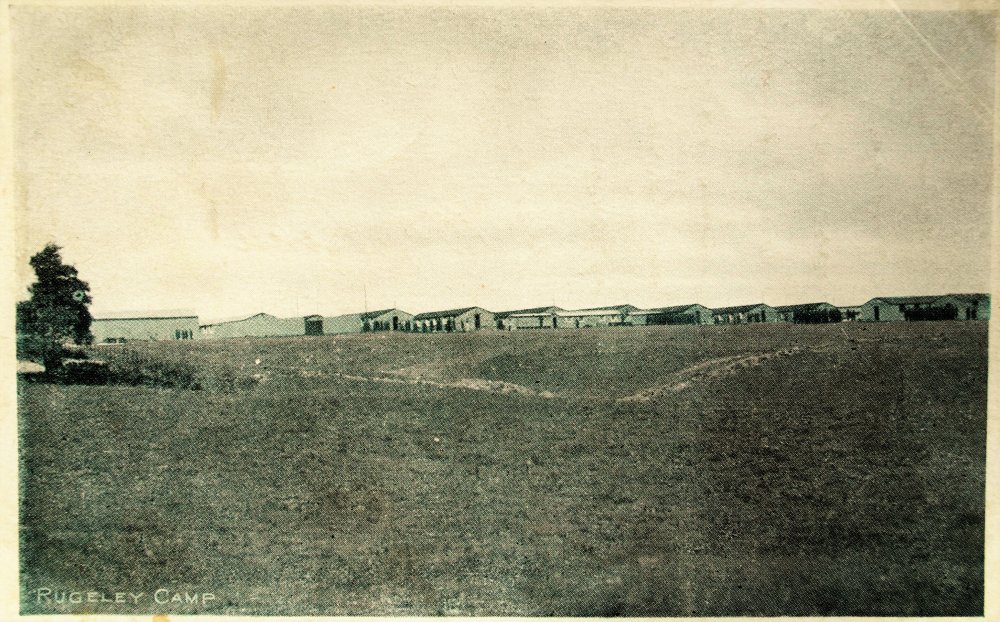
Rugeley Camp unusual view
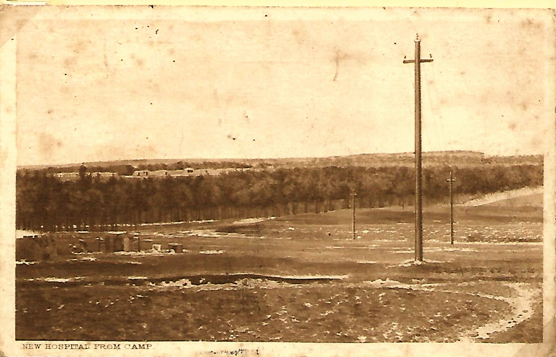
View of Hospital being built
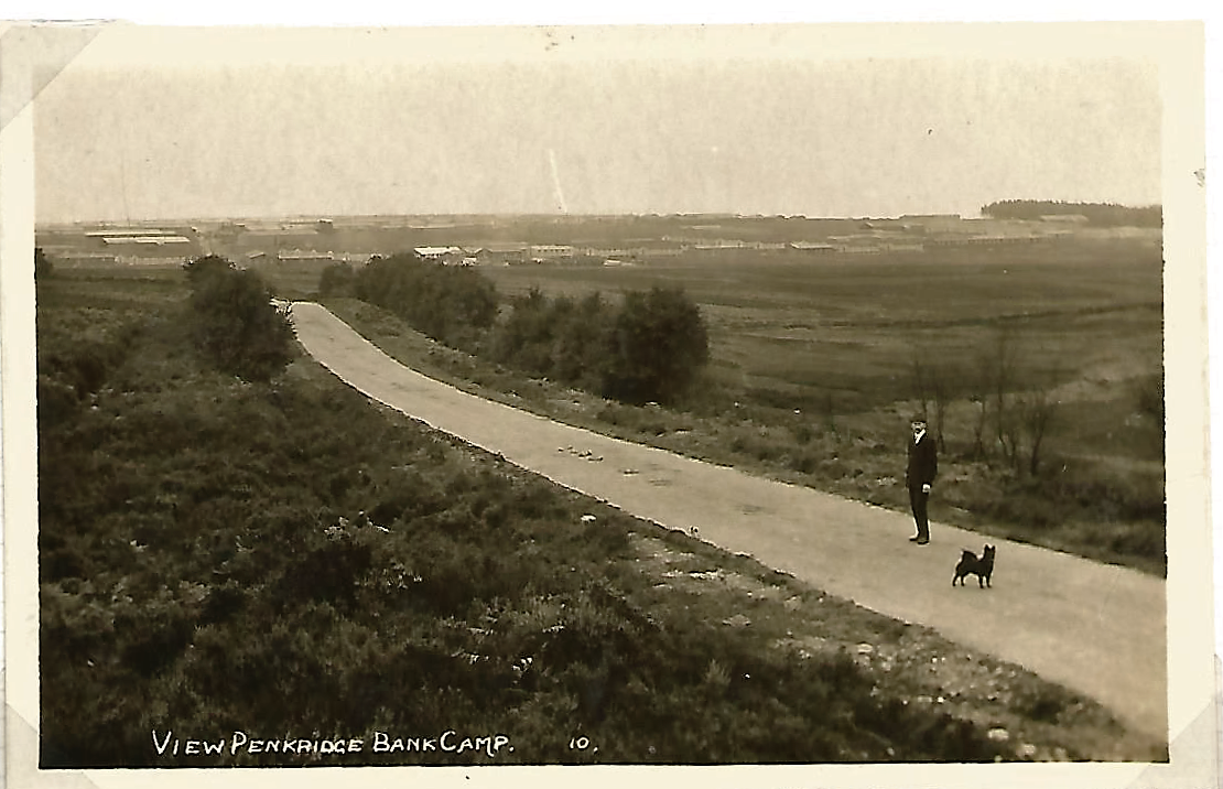
View of Penkridge Bank Camp
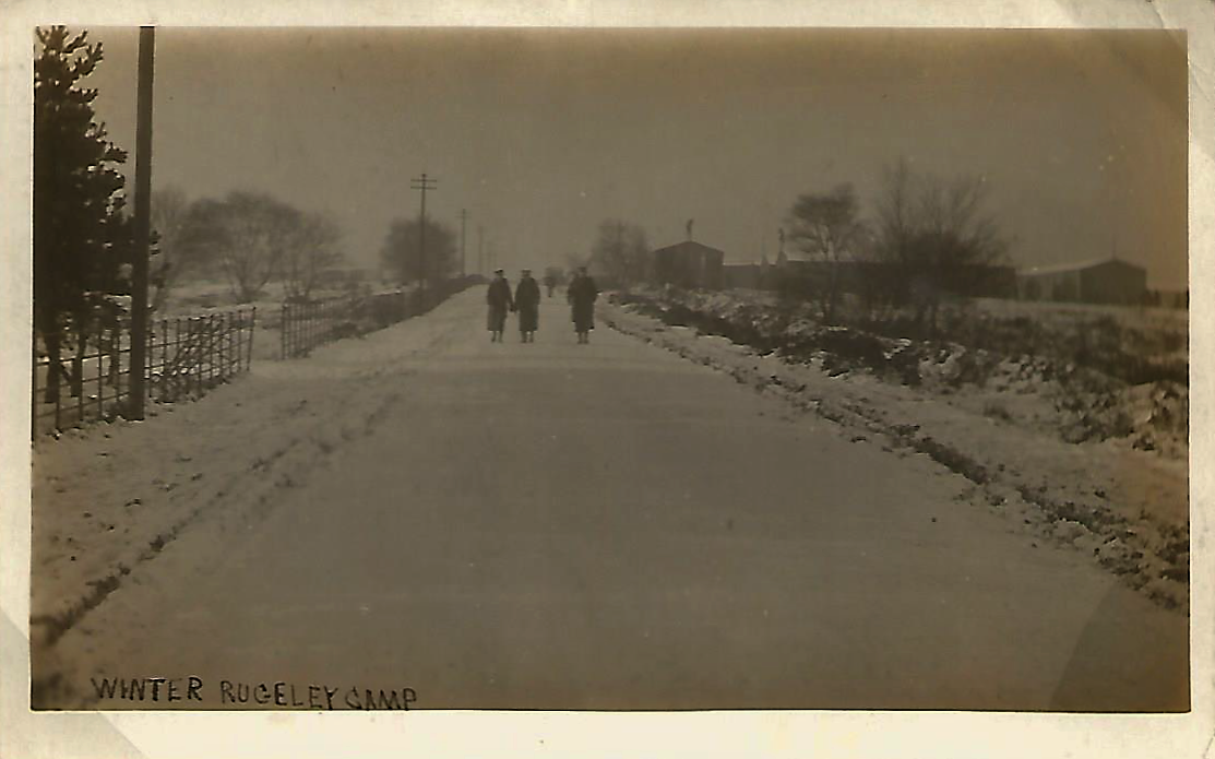
Winter Scene Rugeley Camp
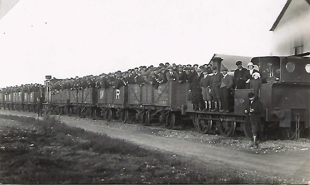
Workers on the Tackeroo.
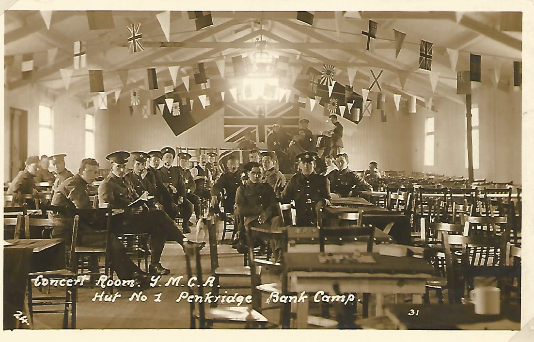
YMCA Hut Number 1 - Rugeley Camp
